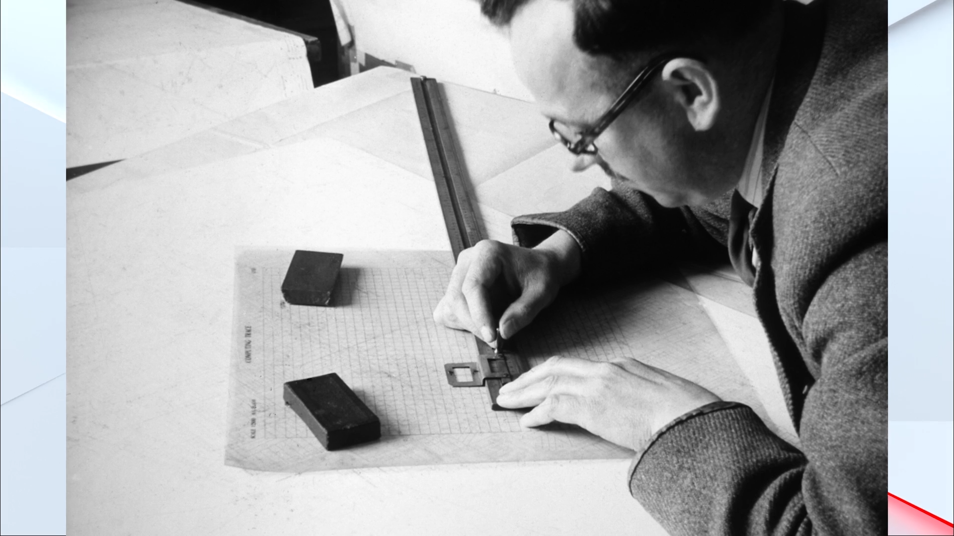
It took ten years to map Kent in 1801. Today, the same job can be completed in just ten days, as Ordnance Survey marks 225 years since its first county map and looks towards the future of mapping."As our navies were elsewhere in the world, they were worried that Napoleon might come and invade," said OS chief executive Nick Bolton. "If they were going to do that, we'd better know where the south coast is."He continued: "So, our first map was of Kent, and then we worked around the south coast."What began as a military mission to protect Britain's coastline has since developed into one of the country's most important mapping organisations. TRENDING Stories Videos Your Say The first survey was launched in 1791, when fears of a French...
Läs hela artikeln hos källan.




Kommentarer (0)
Inga kommentarer ännu. Bli först med att kommentera!